Weather analysis has come a long way from relying solely on meteorological data. These days, the advanced technological landscapes integrate point of interest (POI) data. This has become a game-changer for weather analysts, allowing them to gain valuable weather insights. In recent times, traditional weather data combined with information about specific locations has enabled analysts to unlock new dimensions in forecasting, emergency response, agriculture, urban planning, and the energy sector.
This blog will show how integrating POI data in weather analysis can be advantageous. Let’s explore five compelling ways analysts can leverage these location-based insights.
Understanding Point of Interest (POI) Data
Before we explore how to get weather insights using POI data, let’s first understand what POI data is. POI data refers to specific locations or points on a map that are of interest. These can include businesses, landmarks, public facilities, and more. The integration of POI data with weather analysis involves overlaying weather information onto these specific points, providing a localized and context-rich perspective.
Sources from which POI data for weather analysis are gathered are diverse. They include publicly available datasets, business directories, social media check-ins, geotagged information, or data service providers such as Xtract.io. Combining this data with traditional weather datasets provides a deeper insight into how weather conditions uniquely affect particular locations.
5 ways analysts use POI data for weather insights
1. Improved Forecasting Accuracy
POI data plays a crucial role in enhancing forecasting accuracy as it provides localized weather insights. For example, a weather analyst incorporating data from shopping centers, stadiums, or airports can better predict and communicate weather conditions specific to those areas.

Businesses utilize POI data to offer hyperlocal weather forecasts. By factoring in the unique characteristics of each location, forecast precision is heightened, ensuring that businesses, events, and communities receive more accurate and relevant weather predictions.
2. Enhanced Emergency Response
During extreme weather events, effective emergency response is critical. POI data proves invaluable in identifying high-priority locations that require swift attention. Emergency responders can utilize this information to allocate resources efficiently and prioritize areas with critical infrastructure or high population density. This proactive approach ensures a more organized and rapid response, potentially minimizing the impact of disasters.
Imagine a scenario where a hurricane is approaching a coastal city. Emergency responders, armed with POI data, precisely identify critical infrastructure like hospitals, emergency shelters, and communication centers in the potentially affected areas.
This meticulous planning doesn’t just stop at pinpointing locations. Instead, emergency responders use POI data to develop detailed response strategies. They can pre-establish evacuation routes, ensuring that residents can efficiently reach designated shelters. The data helps in resource allocation, allowing for the positioning of medical teams, emergency supplies, and communication equipment in strategic locations. Therefore, the real-time monitoring of POI data aids emergency responders in adapting their strategies dynamically.
3. Agricultural Planning and Management
Precision agriculture relies on accurate weather forecasts tailored to specific crop regions. POI data related to farmlands enables analysts to offer weather insights that empower farmers to make informed decisions about planting, irrigation, and harvesting. Farmers can access weather forecasts tailored to their fields, empowering them to maximize crop production.
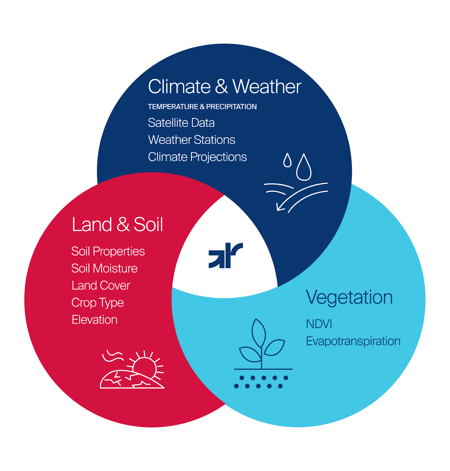
Platforms like Gro Intelligence provide a variety of geospatial data sources on climate, weather, soil, and vegetation. This data enables real-time monitoring of crop conditions, assessment of drought severity, and predictions about the impact of climate change on specific crops.
4. Urban Planning and Infrastructure Management
Cities are increasingly vulnerable to the impacts of climate change. POI data assists weather analysts in developing climate-resilient urban plans and managing infrastructure more effectively. By understanding the specific vulnerabilities of key infrastructure points, such as bridges, power plants, and transportation hubs, cities can implement measures to mitigate weather-related risks, such as flooding and extreme temperatures.
Consider transportation hubs, the lifeblood of urban mobility, which benefit extensively from POI data. Analysts can pinpoint areas prone to extreme temperatures, optimizing the planning and maintenance of transport infrastructure. This proactive approach helps cities avoid disruptions due to heat-related issues, ensuring a smooth flow of goods and commuters even in challenging weather conditions.
5. Energy Sector Optimization
The energy sector is highly influenced by weather conditions, especially for renewable energy sources. Weather analysts using POI data can optimize energy production forecasts by considering specific locations’ geographical features and characteristics. This enhances the accuracy of prediction models and aids in the efficient distribution and consumption of energy resources.
For example, the National Renewable Energy Laboratory (NREL) in the United States uses POI data to enhance wind and solar energy forecasting. By considering the geographical features and characteristics of specific locations, they can provide more accurate predictions, supporting the efficient integration of renewable energy into the grid.
Challenges
Integrating POI data in weather analysis offers significant benefits, but there are challenges to address as well. Privacy concerns, data accuracy, and standardization are among the hurdles that need attention. LocationsXYZ actively addresses these hurdles, ensuring that the data provided is not only accurate but also trustworthy, giving users confidence in the precision and reliability of the location insights.
Looking ahead, the future of weather analysis lies in the continued refinement of POI data integration. Emerging technologies like the Internet of Things (IoT) and advanced geospatial analytics will contribute to a more interconnected and accurate understanding of localized weather conditions. Collaboration between meteorologists, data scientists, and technology experts such as Xtract.io will be essential in overcoming challenges and realizing the full potential of POI data in weather analysis. Request a quick demo now.