The reliability of POI data has become a cornerstone of modern location intelligence, especially for mapping points of interest at scale. At first glance, extracting point of interest data from popular location platforms seems like a good solution, since the location maps appear complete and up-to-date.
Scraped map data might lack the transparency benefits, regular update cycles, provenance information, and enterprise-grade accuracy assurances. Also, licensing terms, missing geographic coverage, and outdated or missing metadata values may render scrape map data unsuitable for business purposes.
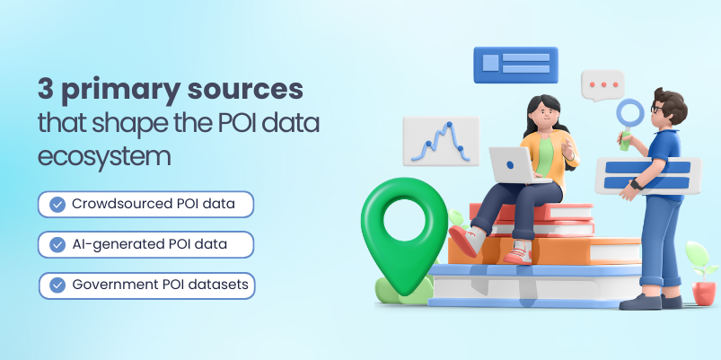
In 2026, organizations demand precise, auditable, and up-to-date location intelligence. Three primary sources shape the POI data ecosystem: crowdsourced contributions, AI-generated location intelligence, and official government datasets.
Each approach brings its own strengths and compromises in terms of accuracy, freshness, scalability, and governance. This article examines how these three approaches compare, their real-world implications, and how businesses, developers, and planners can evaluate POI data strategies.
Why POI data is consequential for location intelligence
POI includes locations users visit and services they consume. The accuracy, freshness, and completeness of these entries affect routing, search ranking, risk analysis, urban planning, and customer experience. Detailed levels of accuracy, such as the operating hours of a store or newly opened locations, create substantial pressure on the entire data pipeline. The question is not which dataset is the best individual source, but which set of sources is believable and accurate for geospatial analysis. Let’s understand the three primary sources that shape the POI data ecosystem.
1. Crowdsourced POI Data
Crowdsourced point of interest data leverages real-time input from local contributors to capture rapid changes on the ground.
Strengths
- Crowdsourcing mobilizes a broad base of contributors who notice changes quickly, often faster than official channels.
- Due to the presence of many volunteers, updates become easily scalable even at low costs.
- In highly populated, rapidly changing areas, crowd signals can reveal on-the-ground patterns that are independent of static datasets.
Weaknesses
- The contributions differ in the level of accuracy, comprehensiveness, and organization.
- The bad actors may introduce incorrect POIs or modify entries incorrectly, particularly in the high-visibility areas.
- There are requirements in crowdsourcing, which include structured moderation and abuse prevention mechanisms.
Best practices for crowdsourced POI data
- Assigning each POI with dynamic reliability ratings based on criteria such as the number of contributors who updated it, the frequency of verification, and the historical credibility of contributors. These will allow businesses to quickly determine which points of interest to rely on and which to verify in the future.
- Rules or machine-based models help to detect anomalous or potentially malicious change activity. For example, sudden moves, duplicate changes, and unreasonable business hours. Such cases should be submitted to human examiners for review before publication of change updates.
- Comparison of the user-submitted POIs with the official business registers, licensed data sources, or government records could help verify the validity of existence, type, and location.
- Storing information about changes in the POI, such as the time and date of the update and the source of the change, enables traceability and fast reversals when detecting mistakes.
2. AI-generated POI data
Point of interest data generated by AI refers to geographical location information created, updated, and/or confirmed via machine learning algorithms rather than human input. These systems identify, categorize, and ascertain changes such as openings, closings, and changes in repurposed buildings. This supports large-scale geospatial analysis and automated location intelligence workflows.
Strengths
- AI can handle massive data flows, ranging from satellite images to street view images, as well as social cues, to pinpoint POIs.
- AI-driven discovery becomes valuable as point of interest data in regions with fewer human contributors is often under-mapped.
- AI pipes can enforce consistent naming conventions, grouping, and formatting.
- The method of POI data through AI is appropriate for areas that keep evolving, as it is constantly updated on a global basis.
Weaknesses
- AI relies on training data and signals that may be incomplete or outdated, leading to incorrect POIs if not validated.
- It can be challenging to determine the rationale behind the creation or categorization of a particular POI.
- AI-generated entries can be hard to audit or explain without explicit source history, confidence scoring, and model attribution.
Best practices for AI-generated POI data
- Validating with human-in-the-loop to safeguard against model hallucination and misclassification, especially for sensitive or high-impact POIs.
- Recording the provenance and confidence scores for each POI published, including data sources and model versions.
- Tracking AI outputs with crowdsourced corrections, together with official datasets, enables cross-verification of accuracy.
- Regularly retraining models with fresh, labeled data and continuously monitoring for drift, bias, and performance degradation.
3. Government POI datasets
These POI datasets normally carry details related to public infrastructure. They include information on the kind of businesses that are regulated by the government, land usage, zoning, transportation systems, healthcare providers, schools, and government boundaries. This forms a foundational layer for location intelligence applications.
They are much valued due to the genuineness that surrounds them as government publications, and the fact that they are traceable and official.
Strengths
- Datasets used are official and sourced from countries or regional map authorities, and are usually standardized and formally licensed.
- Government data is more likely to stress long-term reliability, with official revision cycles and tracing.
- These datasets are useful for highly important tasks: regulatory, safety, and public interest. They are considered the best baseline.
Weaknesses
- Government data often isn’t updated fast enough to accurately capture the degree of change occurring on the ground, particularly in dynamic urban environments.
- Some types of points of interest may be underrepresented, and inconsistencies can also arise at the regional level due to fragmented governance.
- Funding and policy decisions might affect the pace at which data are released or revised.
Best practices for government datasets
- Businesses can use open licenses and well-documented data catalogs. This way, teams easily understand the data, evaluate its suitability, and gain valuable insights through geospatial analysis.
- Enabling controlled feedback channels, with all changes reviewed and approved through official government processes.
- Obtaining clear quality metrics and detailed revision histories from government sources to support transparency, build trust, and enable effective tracking of changes over time.
Hybrid as the practical path for location intelligence in 2026
The best available source of location intelligence in 2026 will very likely not be from one source alone, particularly when it comes to mapping points of interest across dynamic geographies. As such, they are increasingly resorting to a data fusion tactic that combines crowdsourced information, AI enhancement, and government sources. The aim is not solely to focus on source integrity but to provide a rich data fabric that provides:
- High accuracy with cross-source validation and conflict resolution.
- Freshness through fast crowd feedback and AI alerts, combined with authorized news announcements.
- Detailed resolution through integration of the strength of edits enabled by crowd sourcing with the richness of AI-enabled work in less-mapped areas.
- Transparent provenance and governance, allowing users to judge trustworthiness and verify lineage.
Key elements of an effective hybrid strategy:
- Multi-source fusion engines that calculate confidence scores for each point of interest based on source diversity, recency, and corroboration.
- Provenance metadata and versioning for supporting audit trails, rollback, etc.
- Feedback loops where end-users can report inaccuracies that trigger iterative improvements in the sources.
- POI governance policies that specify POI types that need human validation and programmatic validation.
Conclusion
The point of interest data landscape in 2026 will not be shaped by a single best source assumed to be completely accurate. Instead, it will be formed by a robust ecosystem that combines elements of crowdsourcing, AI enhancement, and official data. Crowdsourcing grounds the ecosystem in the real world in terms of what is always local to it. AI adds speed to the whole process in terms of discovering new POI data points. The best location intelligence will be provided by data suppliers who combine all these elements to provide accurate data, making POI data providers the top.
If you’re looking to build reliable, future-ready location intelligence from high-quality POI data, reach out to xtract.io.